My original plan was to go to Kentucky and Tennessee and then work my way back up through Indiana. Victoria was able to pick up Austin from daycare, so I'd be able to leave right at noon when I got done with work. This would buy me some more time. I was planning to drive to near Paducah, Kentucky, and stay at the rest stop I did on my last visit.
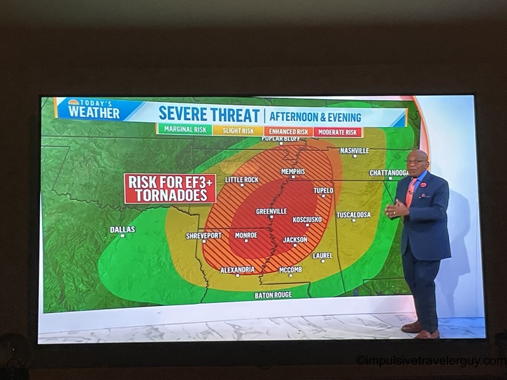
Everything was all good to go on the Friday of the planned trip until I watched the morning news. Unfortunately, the weather did not look good for that area.
Knowing how dumb Google Maps is with directions (more on that later), I needed a new plan. If I didn't get caught in the line of tornadoes, I'd probably end up on some flooded back road. I quickly devised a new plan. It appeared Northeastern Missouri would be spared from the weather. I quickly put together an itinerary.
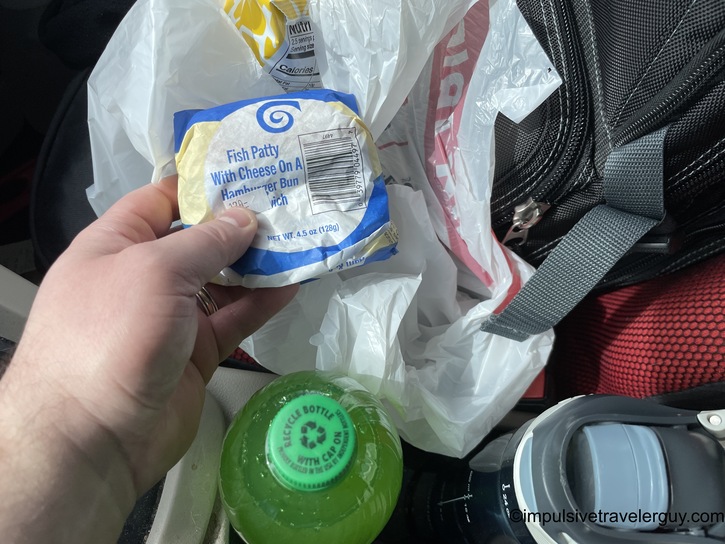
After work, I got some fish sandwiches from Kwik trip and headed west on US-151.

I was soon in Iowa and later in Missouri.


Clark County was my first stop.

The two-lane highways were peaceful on the way to Scotland County.


I made sure to watch for Amish buggies on the way to Schuyler County.


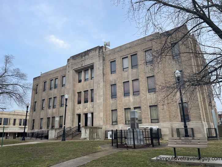
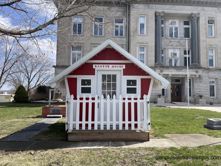
Putnam County was my last county for Friday. There was a cool crosswalk near the courthouse.


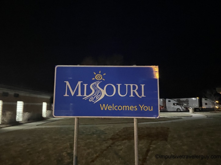
Since I threw together my itinerary quickly, I wanted to ensure I had a decent place to stop. Despite it being a ways out of the way, I knew I could get a good night's sleep at the Missouri Welcome Center. I've stayed there many times.

The route was going to bring me back into Iowa a bit. However, before crossing into Iowa, I stopped at a gas station since gas was much cheaper there.

I also got a snack.

Despite seeing all the signs in Missouri, I saw my first Amish buggy in Iowa.

I made it to Lamoni, Iowa. I was hungry and wanted to grab something to eat. Lamoni is a small town, so there wasn't much, but I saw there was a Subway. But, of course, Google Maps gave me the wrong directions.
It claimed Subway was downtown, but there was no Subway to be found.


I knew I passed a Hy-Vee grocery store on the way, so I was going to just stop there and grab something. When I was looking for Hy-Vee, I found Subway. They didn't have anything lit up, so I can see why I missed it the first time, as I thought my directions were accurate, and I wasn't looking in that spot.
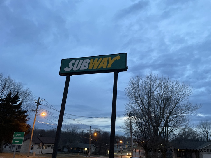

Lo and behold, Subway didn't appear on the map there either.

I was happy I found Subway. I got a tuna sub.

I ate and then headed to the Missouri Welcome Center, where I planned to stay.
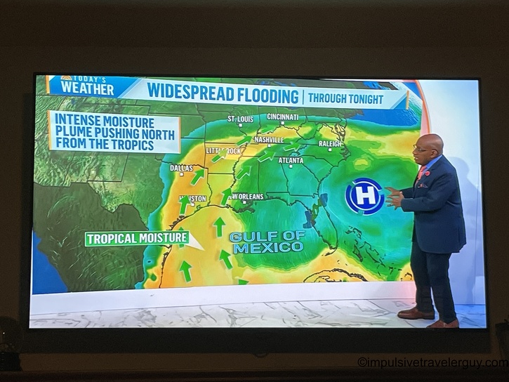
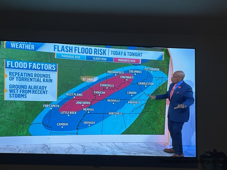
I see I made a good choice in terms of planning around the weather. Where I planned to go near Paducah, Kentucky, was getting nailed with storms.

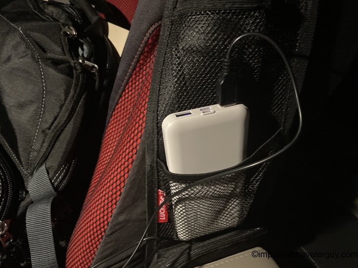
Before going to bed, I experimented with some of the gear I bought. I have a few decent places to put my battery packs and my fan and light that clips onto the dashboard.

I went to sleep and woke up around 5 AM. I see that Southern Wisconsin was getting nailed with some weather.

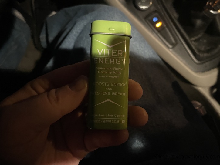
For caffeine, I decided to do something a little different. Instead of coffee or an energy drink, I found these 40mg mints. 40mg is about what is in a normal soda. I could meter the amount of caffeine I took and take less.
The rest stop was a bit out of the way to my first county, so I had a decent amount of driving to do.

This driving also took me past another courthouse I had already visited. This was Grundy County, Missouri.

I took some back roads and eventually made it to Linn County.


Victoria told me it was snowing hard in Belleville. The radar from before obviously showed that. It had rained a bit in Missouri the night before, but the worst weather I saw was a little fog.

That didn't slow me down any on my way to Sullivan County.
After the courthouse, I stopped at Casey's for some gas and also breakfast and lunch.

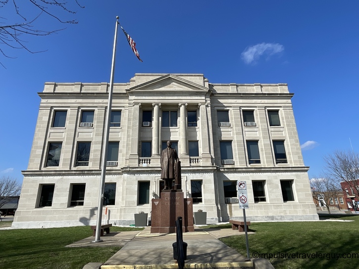
I was soon in Adair County.

The speed limits increased a bit on my way to Macon County.


Up next was Randolph County.

Some more two-lane highway driving got me to Chariton County.


Before you knew it, I was in Howard County.

Then came Boone County in the big city of Columbia.
I was soon on the rural lettered highways to Monroe County.

For some reason, they still had their Christmas decorations up.
I see that Shelby County has taken their Christmas decorations down.

Google Maps wanted to tell me that it could do offline maps now. But, honestly, I don't know how much I'd trust it (I always have my Garmin handy for backup).

Thankfully, things were smooth on my way to Knox County.

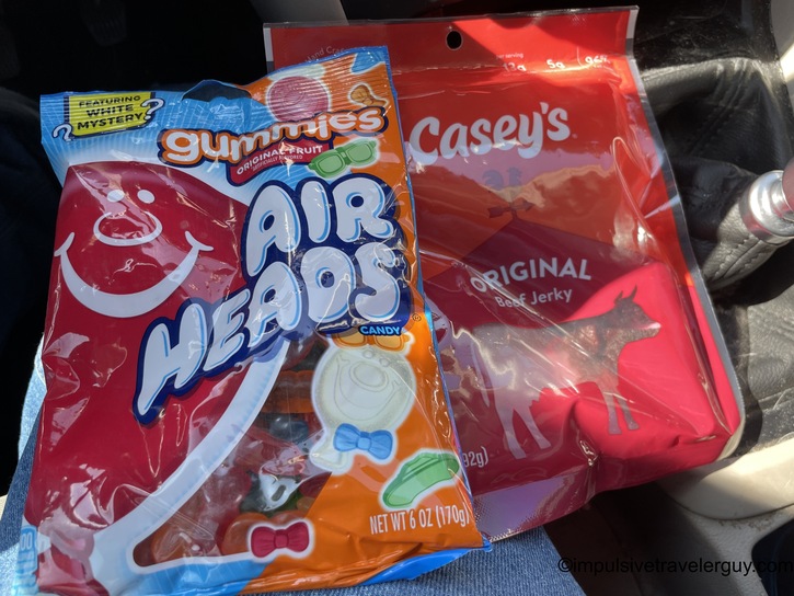
I decided to pick up supper at another Casey's. The jerky was going to be for my high protein sustained energy. The gummies were for my “cheap energy”. I was tapering off having caffeine, so having a sugar boost typically helps.
I then made it to Lewis County.

The sun was definitely shining on my way to Marion County.


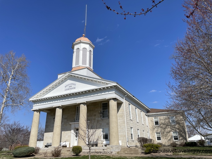
Google Maps wanted me to take some back roads instead of staying on the main US Highway. I refused and stayed on US-61 on my way to Ralls County.

I also stayed on US-61 on my way to Pike County.

I started to realize I was getting short on time. I also knew that I could be running into some bad roads in Wisconsin. I looked at my itinerary and decided to cut out four stops and head directly to Pike County, Illinois. This would be the best straight shot back toward home.

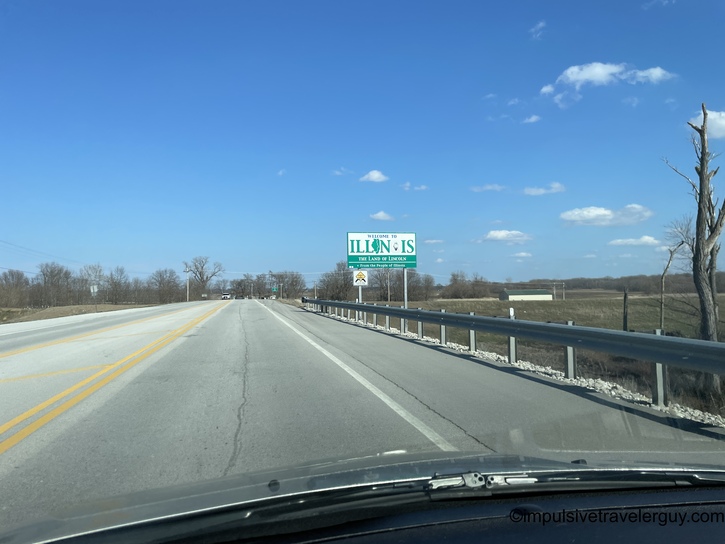

Since I was cutting my trip short, I decided to get some easy carbs. I got some pizza on my way to my final county, Scott County, Illinois.


Now it was a matter of a little under 5 hours home. Luckily, it would be mostly interstate driving the whole way.


I really didn't see much snow until I hit Rockford. The snow band must have been pretty narrow overall. There was an increasing amount of snow as I got closer to home.
After I passed Evansville, Wisconsin, Google Maps went into really stupid mode. You can literally take US-14 to WIS-92, and that'll take me to Belleville. In fact, you have to be on WIS-92 to get to my house. It is the only road that connects my street.
So common sense would tell you to take this very straight shot way of getting home. Google Maps lacks common sense. It would rather have you turn down potentially icy township roads instead.
Even if it weren't icy, these roads have more deer and the potential for loose farm animals. They're less trafficked if something goes wrong. It's just not a good idea to use these roads on a road trip unless it's a last-mile sort of deal. In the case of going home, WIS-92 is literally a last-mile road that gets me within blocks of my house.
So stupid directions #1 started:

Thank you, but I'd rather stay on US-14. Google Maps wasn't having it.

Sorry, I'm not taking those stupid directions. Google Maps wasn't entertained.

Well, here's a 4th attempt.

Finally, Google Maps gave up.

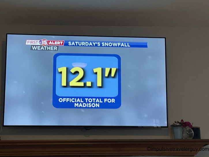
When I got home, you could tell there was a lot of snow. Victoria told me earlier that a lot of it had actually melted.


I got home around 10 PM, so Victoria and Austin were in bed. Maya was too, but I could hear her get up and was excited to see me.

We spent a little quality time together before I went to bed.

The following day, I cleaned things up.

Crazily enough, we had broken a record for snow.
Unfortunately, that storm system I avoided by rerouting my trip was particularly deadly.

The weather seemed to really define this trip. I avoided some dangerous weather in my original destination of Kentucky and Tennessee. The weather in Northeastern Missouri was beautiful overall. I got to enjoy that while at home was dumped with snow. I was happy the roads were cleaned up, and I could take care of everything in the morning.
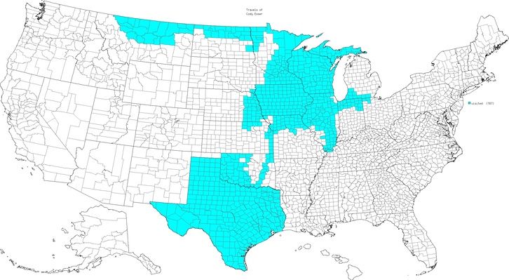
I am happy I was able to fill in some more counties, and now I'm up to 787 total!