Deep South Trip Days 10 and 11: The Home Stretch

The plan for my Deep South trip was once I got to Asheville, NC, I'd take the interstates and head back to Austin. This is exactly what I did. Tennessee isn't very friendly to people like me who sleep at rest stops. I got a room at America's Best Value Inn. I guess that was good because I was planning to drive as much as possible. A hotel room would allow me to get a good night's rest.

Weather radar map showing mixed precipitation across Tennessee, Kentucky, and surrounding states, with location marker at Sevierville, Tennessee displaying 7:04 AM and 100% battery View through window showing wet parking lot and grassy hill with bare winter trees and utility poles under overcast gray sky Close-up of standing water and debris accumulated in concrete drainage gutter next to building foundation Rain-covered windshield view of multi-lane highway in wet weather conditions with bare trees lining both sides

I had rode out a storm the night before, and it was still raining and wet. I saw I'd be driving in a lot of rain. I ate breakfast and hit the road.

Highway view through windshield showing wet pavement cutting through wooded hills with bare trees on both sides under cloudy sky Highway curve with concrete barrier wall on right side cutting through hillside with exposed rock face under overcast sky Highway view with tall concrete retaining wall on right side, exposed rock cut on hillside, and wooded areas flanking the road Similar highway view with concrete barrier wall and exposed limestone rock face on right side, wooded hills in distance Highway view through light traffic with cars ahead, wooded hills with bare and evergreen trees on both sides under gray cloudy sky Historical marker commemorating U.S. Senator Albert Gore, Sr. and Tennessee's role in creating the Interstate Highway System, signed by President Eisenhower in 1956 Multi-lane highway approaching Nashville skyline visible in distance, with vehicles in adjacent lanes under partly cloudy sky Open highway with divided lanes cutting through flat terrain with pine and bare deciduous trees on both sides Roadside view of overturned semi-truck accident being attended to by emergency vehicles and equipment Traffic delay with tow trucks and recovery vehicles working on overturned semi-trailer, orange traffic cones directing traffic Highway view with light traffic ahead, flat terrain with dense tree line of bare deciduous trees on both sides Approaching steel truss bridge spanning wide river, with vehicles ahead on multi-lane roadway

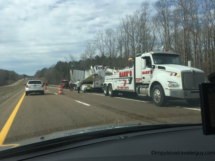
Besides Tennessee not being friendly to sleeping at their rest stops, their roads sucked. There were an insane amount of potholes. The drive was pretty rough overall. I made sure to just drive through and get out of there as fast as possible.

Inside view of steel truss bridge crossing Mississippi River with 'Welcome to Arkansas - The Natural State' sign visible overhead Flat Arkansas highway landscape with wide open views across agricultural fields under overcast sky Side window view of flooded agricultural fields with standing water visible alongside highway Arkansas highway with flooded fields visible on right side, standing water extending across flat landscape under gray sky Side window view of extensive flooding with water covering farmland extending to distant tree line under overcast sky Highway view with bare trees lining right side and standing water visible in roadside areas under gray cloudy sky Highway with guardrail on right side protecting against flooded lowland area with bare trees partially submerged in standing water Highway view following semi-truck with extensive flooding visible on right side, bare trees standing in floodwater under cloudy sky Side window view of major flooding with wide expanse of water covering fields and submerging lower portions of bare winter trees Highway view with extensive flooding visible on right side across flat landscape with scattered bare trees under overcast sky Highway with continued flooding on right side, bare trees standing in floodwater across agricultural areas under cloudy sky Side window view of flooded river valley with low bridge visible in distance crossing wide expanse of floodwater

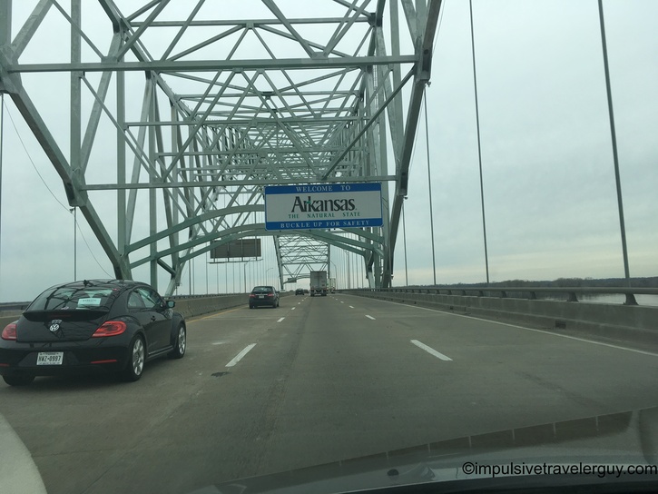
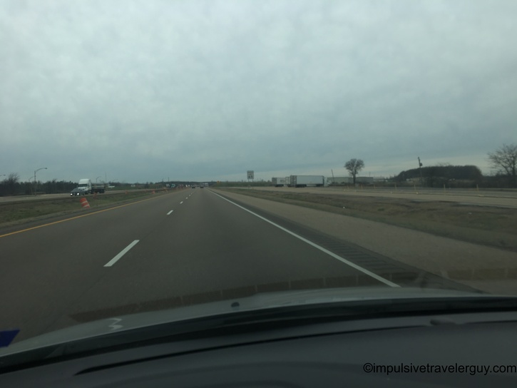
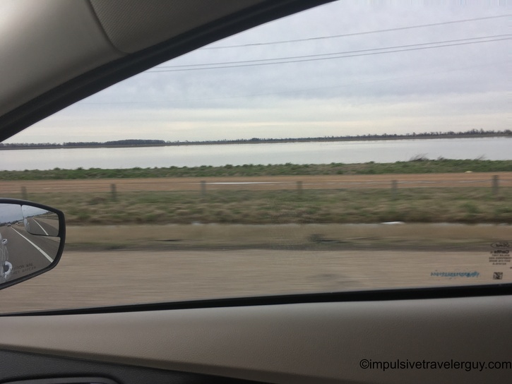
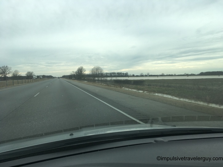
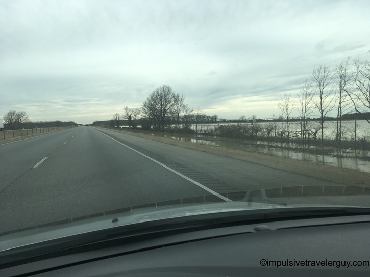
I finally made it to Arkansas. Like Tennessee, I kept driving. I did notice the storm left a lot of rain and flooding around the area.

Vintage roadside sign for Nick's restaurant featuring large corgi dog figure wearing brown vest reading 'NICK'S Established 1972' against blue sky with white clouds

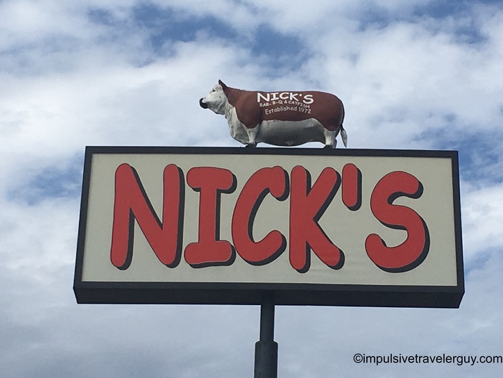
I was getting hungry, so I stopped at a place called Nick's Bar-B-Q & Catfish in Carlisle, AR. After Nick's, I headed back towards the interstate. I figured I'd top off with gas. I stopped at this Citgo station and got gas. Behind the Citgo station was a mobile home hotel for $20 a night. This is the first I've ever seen a mobile home hotel. It looked pretty sketchy, especially at that price. The hotel's lobby was the gas station.

To the defense of this hotel, the gas station itself was clean. The bathroom was in working order, and everything seemed fine. I obviously didn't stay a night there, but if the rooms were as clean as the gas station, I could see it being alright.

Small town street view approaching Citgo gas station with price signs visible, cloudy sky overhead Roadside view of motel sign advertising rooms for $19.95, gas station visible on right, typical small-town commercial strip Gas station parking area view of single-story motel building with green corrugated metal awning, exterior stairways, and parked vehicles Roadside motel with green metal awning roof, multiple ground-floor rooms with exterior access stairs and parked vehicles in front Close-up view of Mercury outboard motor on Bass Tracker boat trailer parked at motel, green metal building visible in background Wide view of budget motel with green corrugated awning, multiple rooms with individual staircases, portable toilet and boat trailer visible in parking area

While $20 a night was tempting, I made my way back to the interstate. I kept driving until I hit Texas. Unlike Tennessee, Texas is one of the best states for my style of travel. They allow up to 24 hours at a rest stop. This is where I ended up for the night.

Highway view following box truck on divided road through dense bare winter forest under gray overcast sky Side window view of flooded forest and fields with bare trees reflected in standing floodwater under dramatic cloudy sky Side window view of extensive river flooding with water spreading across landscape at sunset, warm golden light breaking through clouds on horizon Highway at sunset with golden light breaking through bare winter trees on right side, trucks visible ahead on road Highway at dusk with vehicles ahead, bare trees silhouetted on both sides against golden sunset sky with gray clouds Highway at dusk with vehicles ahead, bare trees silhouetted on both sides against golden sunset sky with gray clouds Highway corridor cutting through dense pine forest at dusk, single vehicle visible ahead, golden light breaking through clouds on horizon Highway view under dramatic gray storm clouds with breaks of light, bare trees lining road, oncoming traffic with headlights visible Rest area or truck stop parking lot at sunset with semi-trucks parked, dramatic pink and gray clouds overhead, silhouetted trees in background Night photo of modern concrete sculpture in shape of Texas mounted on circular brick paver base in front of illuminated building Night photo of white sedan parked in lot with street lights, trees and building visible in background

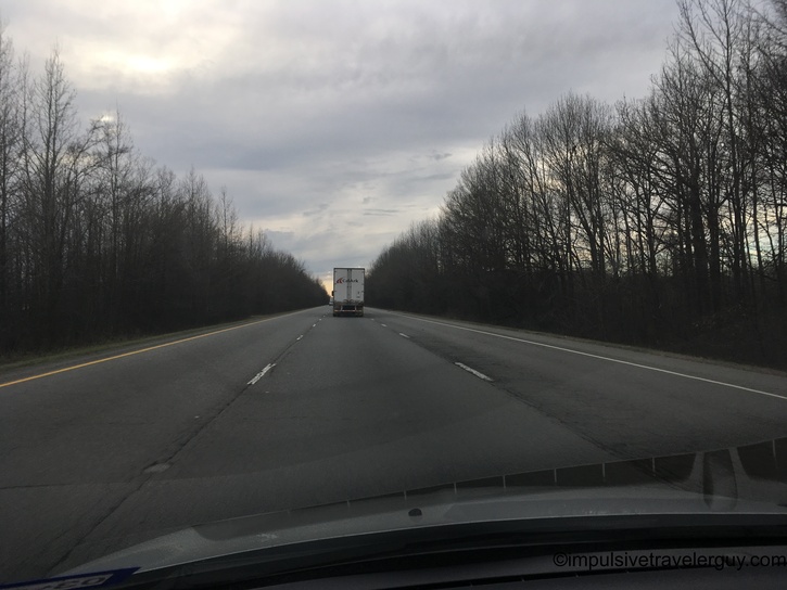
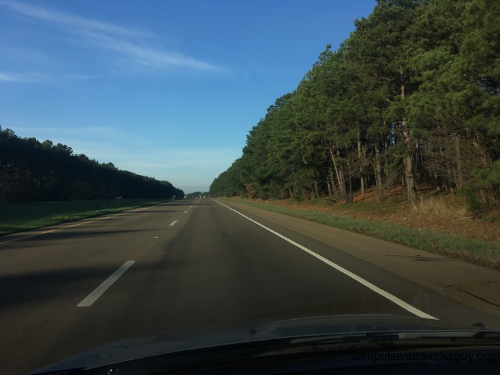
After sleeping at the Texas Welcome Center, it was time to drive the last part of my drive. Austin here I come! It was a bit cold and foggy at the start of my drive. I was still able to pretty much cruise at Texas interstate speeds the whole way.

White Ford Focus sedan parked in concrete parking space in early morning light, trees and building visible in background Weather app screenshot showing Texarkana, Texas at 7:51 AM, temperature 39°F, foggy conditions, feels like 39°F with high of 63°F and low of 39°F Clear morning highway view with dense pine forest on right side, open grassy median on left under blue sky Wide open highway with speed limit 75 sign visible, pine and bare deciduous trees on both sides under clear blue sky Highway cutting through pine forest with yellow road sign visible ahead, clear blue sky with wispy clouds, morning shadows across pavement Highway view in patchy fog with reduced visibility, trees barely visible through dense fog in agricultural area Highway disappearing into extremely dense fog, visibility severely reduced across flat landscape with minimal visible features

Of course, I hit a traffic jam when I got to Austin. You really can't drive around Austin without traffic jams. I was happy to get past it and get back to my apartment. That's where I unloaded the car and then swapped the 2007 Focus for the 2017 Focus in the garage. Once inside my apartment, I got everything in order and looked at all the groceries I bought along the way. I was happy to be back after how many days on the road!

Urban highway with moderate traffic including military vehicles on flatbed trailers, overpass structure visible ahead under partly cloudy sky Silver Ford Focus sedan parked in sunny parking space next to apartment building with covered parking area visible in background View into single-car garage numbered 108 showing black SUV parked inside with boxes and items stored along side wall Rear view of black Ford Focus hatchback parked in single-car garage with storage items along wall and exposed ceiling beam Rear view of silver Ford Focus sedan with Texas license plate parked in garage, storage totes visible along side wall Wooden table displaying regional food product collection including Bruce's Sweet Potato box, various hot sauce bottles, condiments, beer variety pack, chips, and water bottle

See more blog entries here